Sports
Southeastern Wisconsin Weather - A Pleasant Start to the Week
By Marcus Chen
Advertisement · Why this ad?
Marcus manages the day-to-day editorial workflow across all brands, coordinating coverage assignments and ensuring editorial standards are met. He previously served as city editor at the Pioneer Press and holds a degree in Political Science from Carleton College.
More from Marcus →
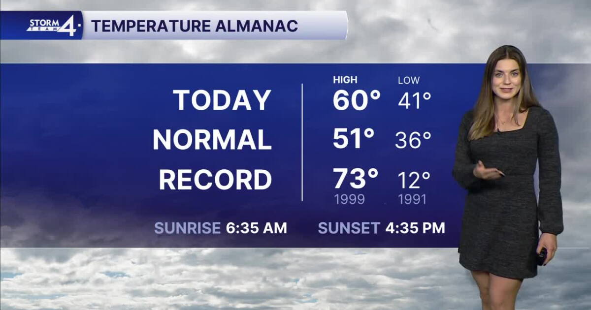
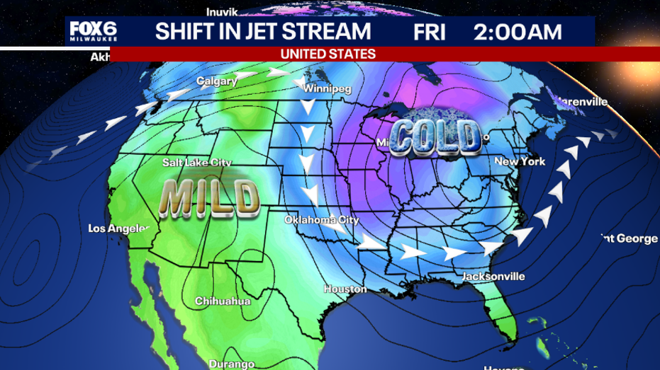
Monday kicks off with sunshine before giving way to more cloud cover this afternoon. Breezy southwest winds will allow high temperatures to climb close to 60 degrees. Overnight lows will fall back into the upper 30s and lower 40s under a clearing sky. Repeat weather is expected on Tuesday before a more active weather pattern takes hold on Wednesday. A developing area of low-pressure will move across the Plains and southern Great Lakes during the mid-week period. Scattered showers are possible on Wednesday as this feature moves by. Strong northerly winds will ramp up late Wednesday into Thursday. With lake temperatures in the 50s, strong lake-effect rain showers will develop. Between Wednesday night and Friday morning, Storm Team 4 will be monitoring these shower bands. While most of these bands will produce rain, there may be times when some light snow mixes in with rain. The best chance of lake-effect rain will occur Wednesday night into Thursday. If bands are able to reach far inland, then there is a chance some snow may mix in. Rain is expected to dominate closer to the lakefront with lows near-40 degrees. By Thursday night, lows will drop into the mid-30s at the lake front. There is a chance inland lows could dip to the 20s. However, there is considerable uncertainty if the rain bands shift onshore during this time frame. IF they do, this would yield the best chance for some wintry mix/pure snow across Southeast Wisconsin. If bands stay out over the lake, then we miss out! Overall, the impacts remain fairly low given that this potential snow event is early in the season and that ground temperatures are above freezing. Stay with Storm Team 4 for the latest updates. Temperatures return into the 40s & 50s over the weekend. Check The Interactive Radar 7-Day Forecast Active Weather Alerts MONDAY: Mild; Increasing Clouds High: 60 Wind: SW 5-10 mph mph TONIGHT: Gradual Clearing; Cool Low: 42 Wind: SW to NW 5-10 mph TUESDAY: Partly Cloudy High: 60 Wind: NW 5 mph WEDNESDAY: Mostly Cloudy; Slight Chance Showers High: 53 THURSDAY: Lake Effect Rain Showers; Overnight Rain/Snow Mix Possible High: 47 FRIDAY: AM Snow Flurry Possible; Mostly Sunny High: 44 It’s about time to watch on your time. Stream local news and weather 24/7 by searching for “TMJ4” on your device. Available for download on Roku, Apple TV, Amazon Fire TV, and more.
By Marcus Chen
By Katherine Langford

By Katherine Langford

By Marcus Chen